Keamari Town lies in the southern part of Karachi, Pakistan, and was named after the historic seaside municipality of Keamari. Keamari Town was formed in 2001 as part of the Local Government Ordinance 2001, and was subdivided into 11 union councils. The town system was disbanded in 2011, and Keamari Town was re-organized as part of Karachi West District in 2015.
In 2020, Keamari District was carved out of Karachi West District. So Kemari Town ended up being part of Kemari District.
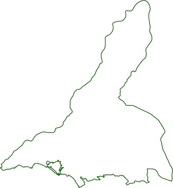
Itcomprised the western parts of Karachi, including the Port of Karachi and an extensive coastline of sandy beaches, small islands and mangrove forests. It does not include the southern island of Manora, which is administered by the Pakistani military as Manora Cantonment, because of the naval base located there. The town formed a large triangle with defined boundaries: the RCD Highway and the Lyari River form the northeastern border, the Hub River to the northwestern border, and the Arabian Sea formed the southern border.